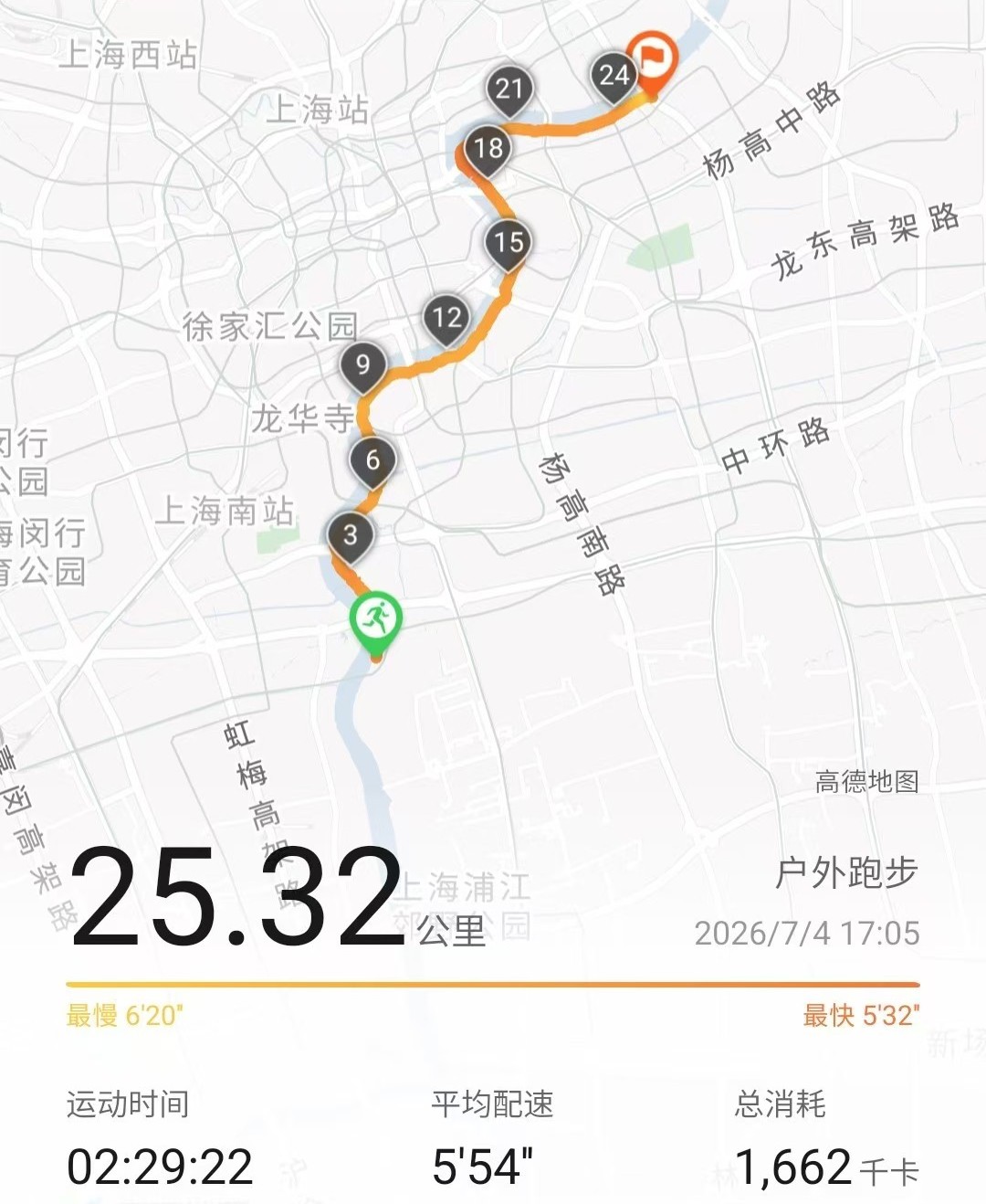
Shanghai is usually described from east to west: Puxi and Pudong, old streets and new towers, two sides facing each other across the Huangpu River. On this run, I wanted to read the city in a different direction.
South to north. One riverbank. One continuous line.
I called the route “Pudong’s south wall to north wall.” The walls were imaginary, but the challenge was real: start at the southern end of the Pudong waterfront and keep following the Huangpu north for as long as my legs would allow.
A City Measured in Kilometers
I set off at 5:05 p.m. on July 4, with the route ahead looking deceptively simple on the map. The first kilometers followed the broad riverside paths around Qiantan and the former Expo area. This is the spacious side of Pudong—long promenades, open parkland, and enough room to settle into a rhythm without constantly negotiating traffic lights.
Across the water, familiar places on the Puxi bank drifted past in reverse order. Longhua, the West Bund, and the old industrial riverfront were no longer destinations; they were markers showing how far north I had travelled.
The Huangpu made the decisions. Whenever it bent, I bent with it.
Through the Middle of Shanghai
Around the Expo riverfront, the scenery began to compress. Parkland gave way to denser streets, ferry terminals, bridges, and the layered city around Lujiazui. The route was still following the same river, but it no longer felt like the same run.
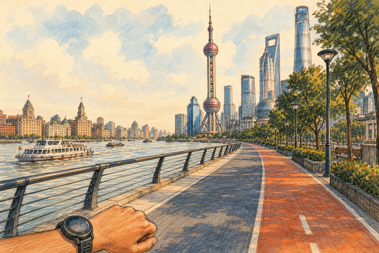
Lujiazui from the running path—an original runner’s-eye doodle inspired by the route.
Running through Lujiazui is a strange way to experience Shanghai’s most photographed skyline. The towers are usually seen as a finished postcard from across the river. From underneath, they arrive one at a time—an occasional reflection between trees, a patch of glass above an overpass, the Oriental Pearl Tower appearing and disappearing as the path turns.
By then, the run had become a moving cross-section of Pudong: landscaped waterfront, Expo-era landmarks, financial towers, working docks, old neighborhoods, and new construction, all threaded together by the same orange line on my watch.
Beyond the Half Marathon
At 21.1 km, the run crossed an invisible border. Every step after that was farther than a half marathon, and the remaining distance was no longer part of a familiar workout. It was new territory.
There was no dramatic change at the watch beep—just heavier legs and a growing awareness that stopping would be much easier than continuing. So I reduced the goal to something smaller: reach the next bend, the next bridge tower, the next kilometer marker.
The northern stretch toward Yangpu Bridge felt like the right ending. The bridge rose above the river as both a landmark and a finish-line gate, its red pylons visible long before the run was over.
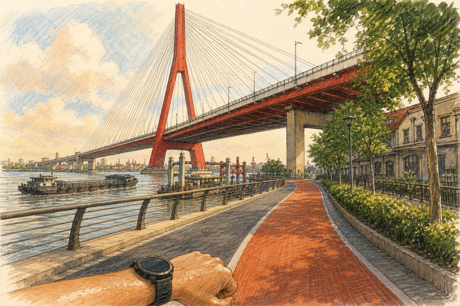
Approaching Yangpu Bridge from the riverside path—an original runner’s-eye doodle inspired by the route.
- Distance: 25.32 km
- Time: 2:29:22
- Average pace: 5'54"/km
- Fastest pace: 5'32"/km
- Calories burned: 1,662 kcal
The Longest Line So Far
Twenty-five kilometers is not an enormous distance on a map of Shanghai. The city continues far beyond both ends of this route. But on foot, the scale changes. Neighborhoods stop being station names. Bridges become milestones. The skyline becomes something earned one kilometer at a time.
This was my longest run so far: 25.32 km from Pudong’s “south wall” to its “north wall.” More than the number itself, I will remember the feeling of crossing an entire slice of the city under my own power—starting beside an open southern riverfront and finishing beneath one of Shanghai’s great bridges nearly two and a half hours later.
The map shows a single orange line.
My legs remember every part of it.